
Risk360
Climate intelligence that becomes an operational decision.
What will fail, what to prioritise and where to act — before the extreme event arrives.
Explore Risk360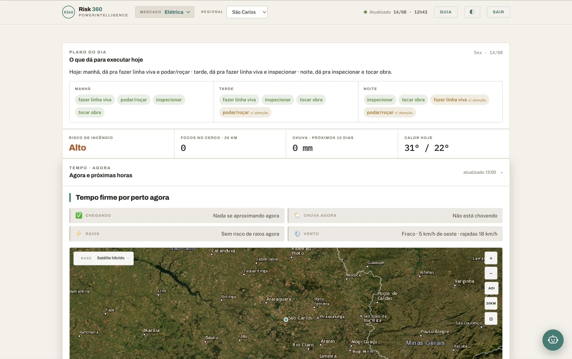
Three platforms and the engines that feed them. Each solves one time horizon, and all share the same architecture: a deterministic engine that classifies, AI that explains.
Climate intelligence that becomes an operational decision.
What will fail, what to prioritise and where to act — before the extreme event arrives.
Explore Risk360Long-term climate governance, with numbers that survive an audit.
Where to build, what to reinforce, what inaction costs — with the climate variable entering every phase of the decision, not just the report at the end.
Explore Climate Edge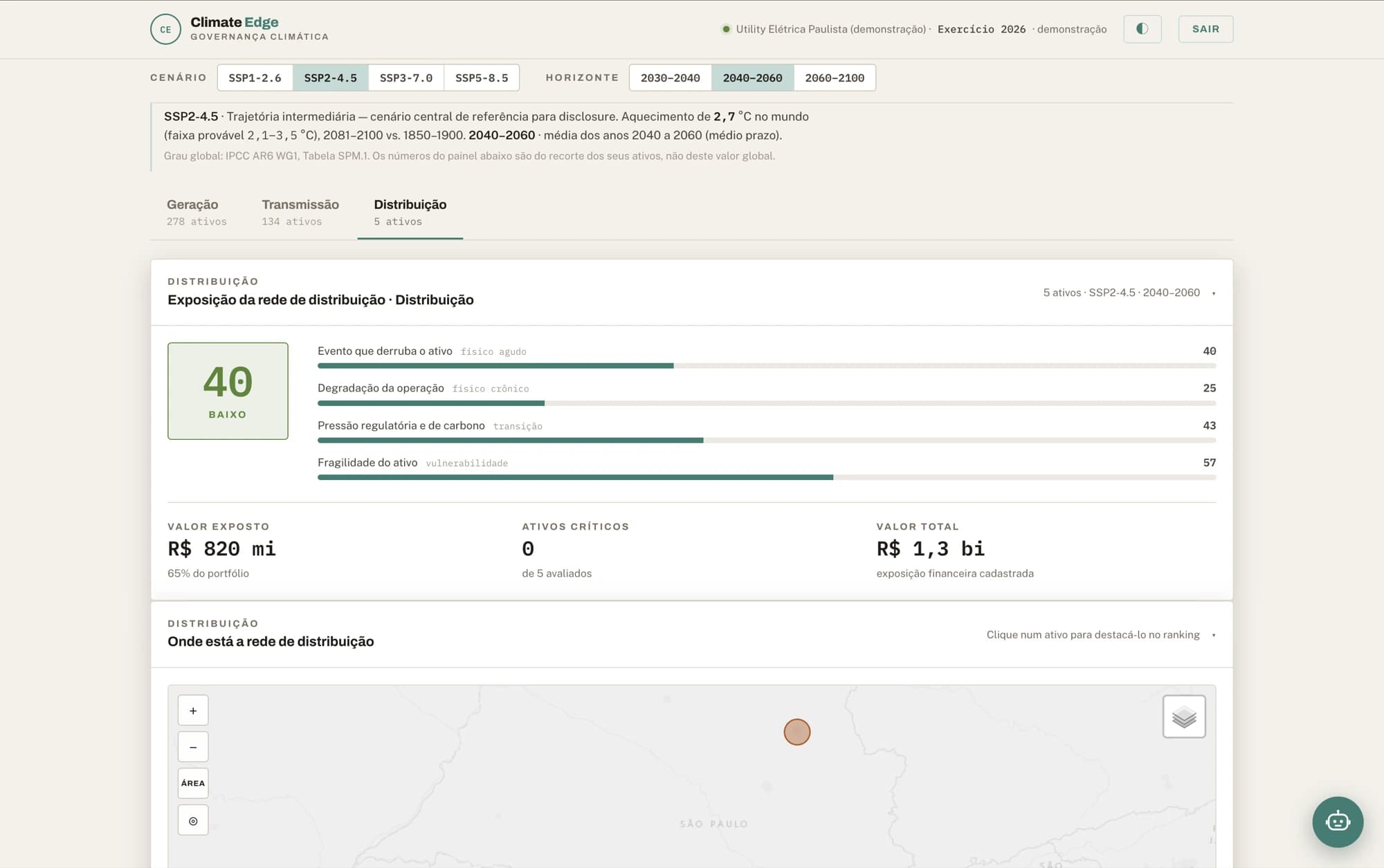
Ask your map. In your language.
Advanced spatial analysis in plain language, over the data your operation already has.
Explore MapsAI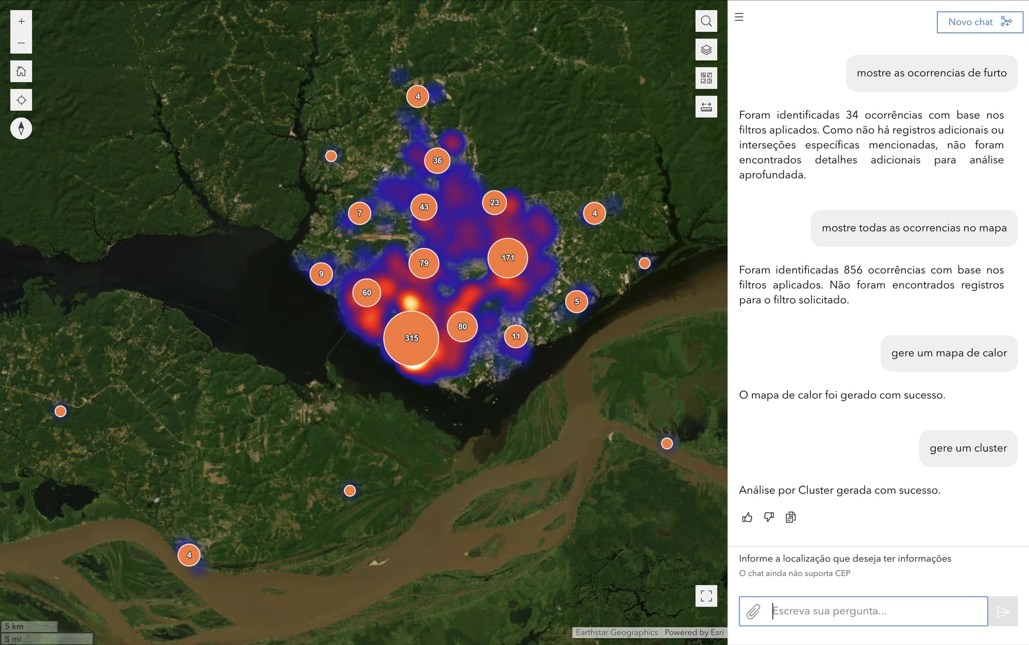
One specialist per sector. Not a generic chatbot.
The agents run inside all three platforms — and they also go into your systems and your team’s WhatsApp, as a copilot or as an autopilot.
The question each one answers
Power utilities
“Can we do live-line work tomorrow morning?”
Agriculture
“What is the best spraying window this week?”
Water and sanitation
“Can I clear confined-space entry this afternoon?”
Telecom
“Which site loses power first if the front arrives?”
Infrastructure
“Any hotspots near the right-of-way?”
Civil defence
“Which flood scenario does this rainfall trigger?”
Engines
They run inside Risk360 and are also licensed on their own, over an API, for teams that already have a dashboard.
Storm nowcasting, a high-resolution 10-day forecast and a 6-month seasonal trend — from one engine.
Three horizons under one contract: the storm minute by minute, the ten days on grids down to 2 km, and the anomaly for the next six months.
Wildfire risk on a 10-day horizon, with spread remodelled every 20 minutes.
Detection, risk and spread cross-referenced against your registry: the alarm carries the asset name, the distance in metres and an estimate of the hours until the fire reaches it.
Technology
São Tomás builds proprietary technology end to end: our own climate and geospatial models, enterprise platforms and artificial intelligence agents — developed and maintained by a senior team combining climate science, remote sensing and software engineering with decades of experience.
High-resolution weather forecasting (Weather Trends), wildfire risk and spread (Wildfire Sentinel, Fire Path), hydrology and geo-hydrological risk (GeoGuard), and long-term climate projection.
Orchestrators and specialist agents that reason, call tools and produce answers and actions under human supervision (human-in-the-loop), with guardrails and audit trails.
Delivered as a complete platform, an API (DaaS), agents over API and channel (AaaS), GIS services and Maps as a Service; integrating with ERPs, SCADA, OMS, ArcGIS, Cell Broadcast and alerting systems.
Building data, geospatial intelligence and AI solutions for the client’s specific challenge, from design through assisted operation.
Platforms
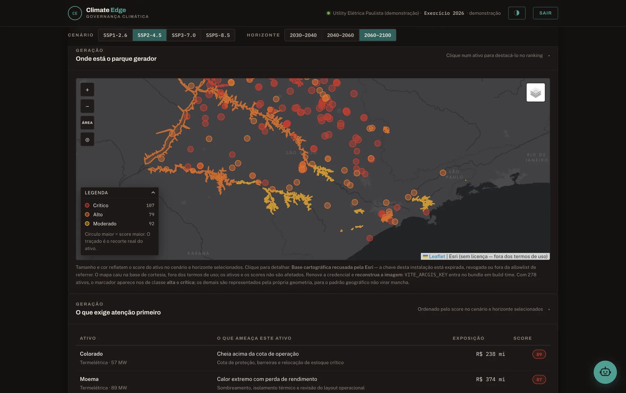
The board decides with Climate Edge; the operation acts with Risk360. MapsAI is the map they both consult.
If it involves climate, territory and data, it is our ground. The conversation starts from a real slice of your operation — not from a deck.